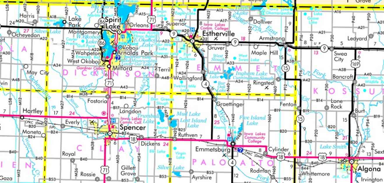
Navigating the vast state of Iowa can be a challenge for many, with countless roads, highways, and cities to keep track of. While some Iowans opt for the convenience of their phones or GPS systems for directions, there are still those who prefer the traditional method of using paper maps. Yes, you heard that right – paper maps are still a thing in this digital age. And believe it or not, the 2025-26 edition of the Iowa Transportation Map is now available for free, courtesy of the DOT.
Mark Hansen, a DOT transportation planner, revealed that this latest edition of the map is one of the agency’s most sought-after publications. With approximately 750,000 copies being printed this time around – a significant decrease from the 1.6 million copies printed a decade ago – it’s clear that there is still a demand for good old-fashioned paper maps. Not really sure why this matters, but apparently, older Iowans continue to rely on these maps, while even the younger generations are turning to them after encountering issues with Google Maps.
The new Iowa Transportation Map features a majestic monarch butterfly on its cover, symbolizing the renaming of Interstate 35 as the Monarch Highway. This change was made to honor the iconic butterfly species and its migration route along the I-35 corridor. Additionally, seven bridges between Ankeny and Ames on I-35 are being reconstructed with a unique monarch wing pattern design in the brickwork. Hansen also highlighted a few other updates on the map, including the expansion of US 30 in Benton County and the introduction of a new interchange east of Interstate 35 in Story County. Not to mention, Decatur City in southern Iowa has officially changed its name to just Decatur, following a formal process.
Despite the availability of digital mapping tools, some individuals still prefer using paper maps for their reliability and the fact that they don’t require a battery to function. According to Hansen, paper maps offer a broader perspective, allowing users to see the big picture of their journey. Hansen personally uses a paper map on his wall every day, emphasizing the importance of understanding the entire route instead of just relying on a small phone screen for directions. Maybe it’s just me, but sometimes the quickest route isn’t necessarily the best route to take.
In addition to highways, the Iowa Transportation Map showcases airports, rail lines, lakes, rivers, and major county roads, along with detailed maps of the state’s 16 largest cities. It also includes a mileage chart between select Iowa cities and an index of cities with their respective populations. These free maps can be found at various locations across the state, such as rest areas, welcome centers, driver’s license stations, and DOT district offices. For those who prefer a digital version, an online map and mobile app are also available on the DOT website. So, next time you’re planning a road trip through Iowa, maybe consider grabbing a paper map for the journey – you never know when it might come in handy.


